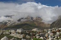
Here're a few more views of Nandanvan:
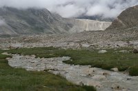 |  |
And here's our kitchen. Chandru and Chhota Govind did an incredible job manning it for most of the trip (with help from others), both in the morning and after a hard day's walk.

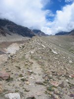
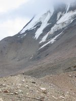
Our route today was chiefly along moraine ridges. Here are some pictures of the route. That's Panda taking a breather in the last picture.
 |  |
 | 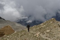 |
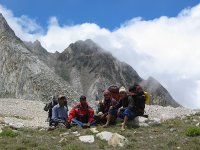
We passed under what was probably Bhagirathi II (6512m), wrapped in cloud. The west face of Bhagirathi III, sandwiched between I and II and hanging over the Gangotri glacier, is one of the great "big walls" of the planet (see, for example, this site by Russian climbers). Here's a glimpse of B II (peer into the clouds in the top half):
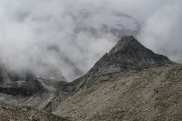
We were walking along the Chaturangi glacier, a huge stream of broken ice covered with red rock...

... which developed light and dark streaks as we headed further upstream and tributaries joined it:

Apparently something like seven glaciers merge at this point. The white glacier in the bottom right of this picture is from Bhagirathi II (according to Vishnu). The picture looks in the direction of our route for the next couple of days (we took a left turn under the glaciated black peak in the distance).
The tricky portion of the day's walk was our second glacier crossing -- this time it was the Bhagirathi II glacier mentioned above. It took a long time and much zigzagging to cross, and then there was a steep and tricky moraine wall to climb up (the porters helpfully fixed a rope like a handrail).
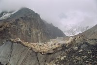 | 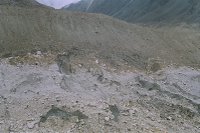 |  |
(Look closely at the second picture and you can make us out crossing over.)
This was the last hurdle of the day, and on the other side of the glacier lay a beautiful green meadow surrounding Vasuki Tal (~4900m). The tal (lake) itself was singularly unimpressive, more a cold, dull pond than anything else.
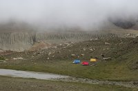
The itinerary that Vishnoi had copied off the net read:
"Today's trek of 7 km takes us to the stunning Vasuki tal with blocks of ice floating in it. Also see stunning reflections of the mighty peaks in its waters."Vladlen, whose Himalayan experience so far had chiefly consisted of cloud, fog, rubble and dull ice, kept repeating this caustically throughout the rest of the day. We ignored him and went off to climb some boulders.
(Part 6)
5 comments:
the 3rd last picture is amazing, who took it?
quite lovely. with some blue, blue skies, what views you must have had!
in vasuki_route 2, is that a shouler of bII rising on the right?
i like the photograph.
in the course of the route, does one ever descend to the chaturangi glacier itself, or does that remain on the left throughout?
from what i undertsand, nandanvan should look right across to tapovan, under shivling, and towards meru, etc. did you get to see shivling from there?
at what point should one look out for vasuki parbat? is that close to the tal?
is that coming in the next part of the adventures of the propateticks?
ill-concealed pleasure at another's disgruntlement, but at the end of the day, all sympathy for the supervisor. hee hee.
chk mail. tell me about the cameras.
i mean:
shouDer,
underSTand.
and so on.
@dd: Of the glacier crossing? Vishnoi or Surdy.
@amrita: It's probably BII or Vasuki. They're both around there somewhere, one after the other. One descends onto Chaturangi (or whatever it's called at this point) right after Vasuki Tal.
We did get to see Tapovan across the glacier. Shivling was cloud-covered :(.
Vasuki parbat is right above the tal. Pics up soon.
Camera response coming right up.
i am unbelievable. i give myself huge gasps. i can't believe i CORRECTED my error just to make another error!
anyway, yes, definitely too bad shivling was being shy. you would have had more mazing photographs, for one thing...
look forward to vasuki parbat and camera strategy.
Post a Comment